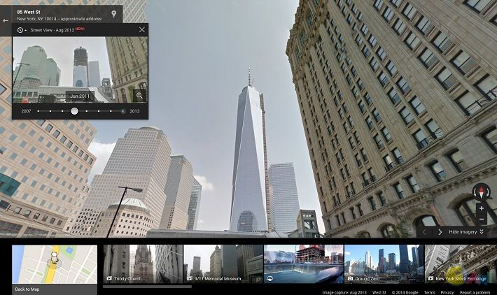
 Up until now, Google’s Street View has been designed to always show you the most recent images possible, but what if you want to take a look back at what’s happened in the area around you over the past few years? You’ll soon be able to do just that. Starting today, Google Maps on the desktop will feature the ability to look back at archived Street View images, going back as far as 2007 (when the Street View program began). In their official blog post announcing their plans to offer historical street views, Google suggested that this feature would be most useful for looking back at landmark changes such as the building of the Freedom Tower in New York City. It can also be used to look back at disasters and their recovery, such as the reconstruction efforts that went on after the 2011 earthquake and tsunami in Onagawa, Japan.
Although the historical street view mode isn’t necessarily a massive change, it could still be a welcome one for those that would like to get a closer look at the geographical and architectural changes affecting the world around us. Right now, Google Street View only has about seven years of history, but imagine how interesting and historically useful this feature could be in just a few decades.  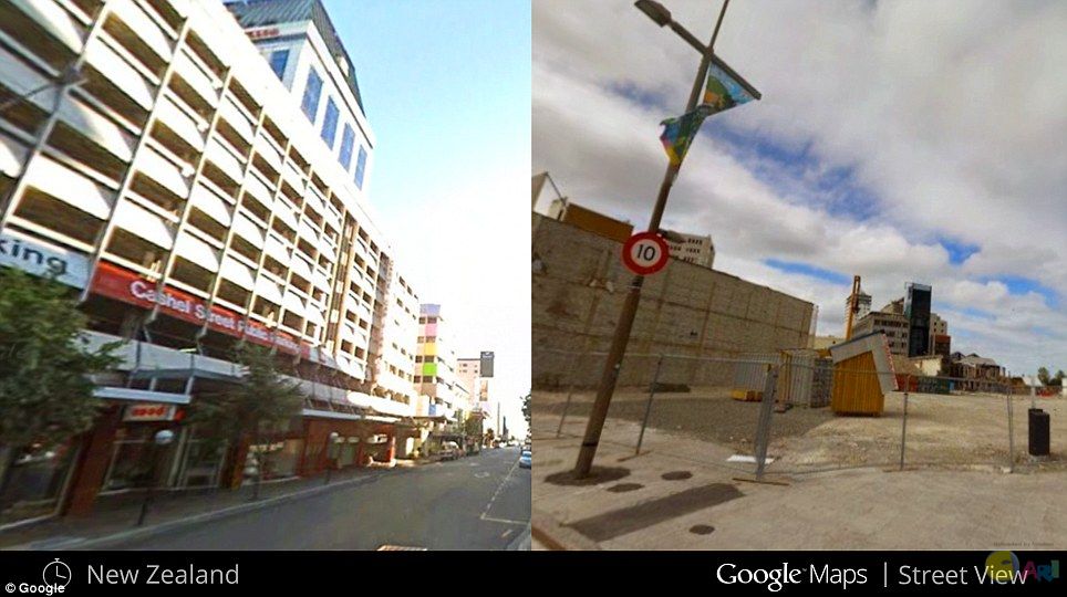 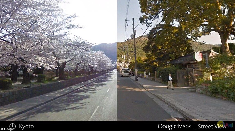 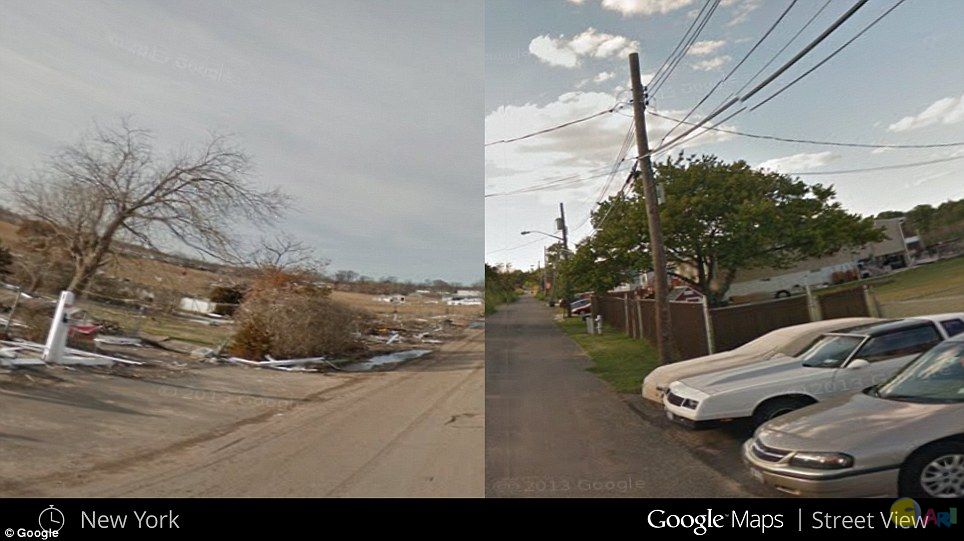 Source1, Source2 |
ADVERTISEMENT